Gallery
About Project
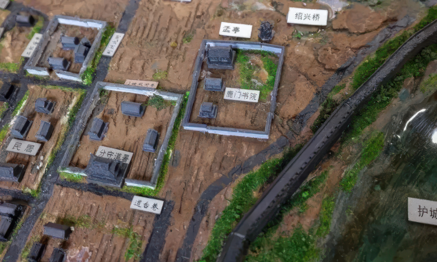
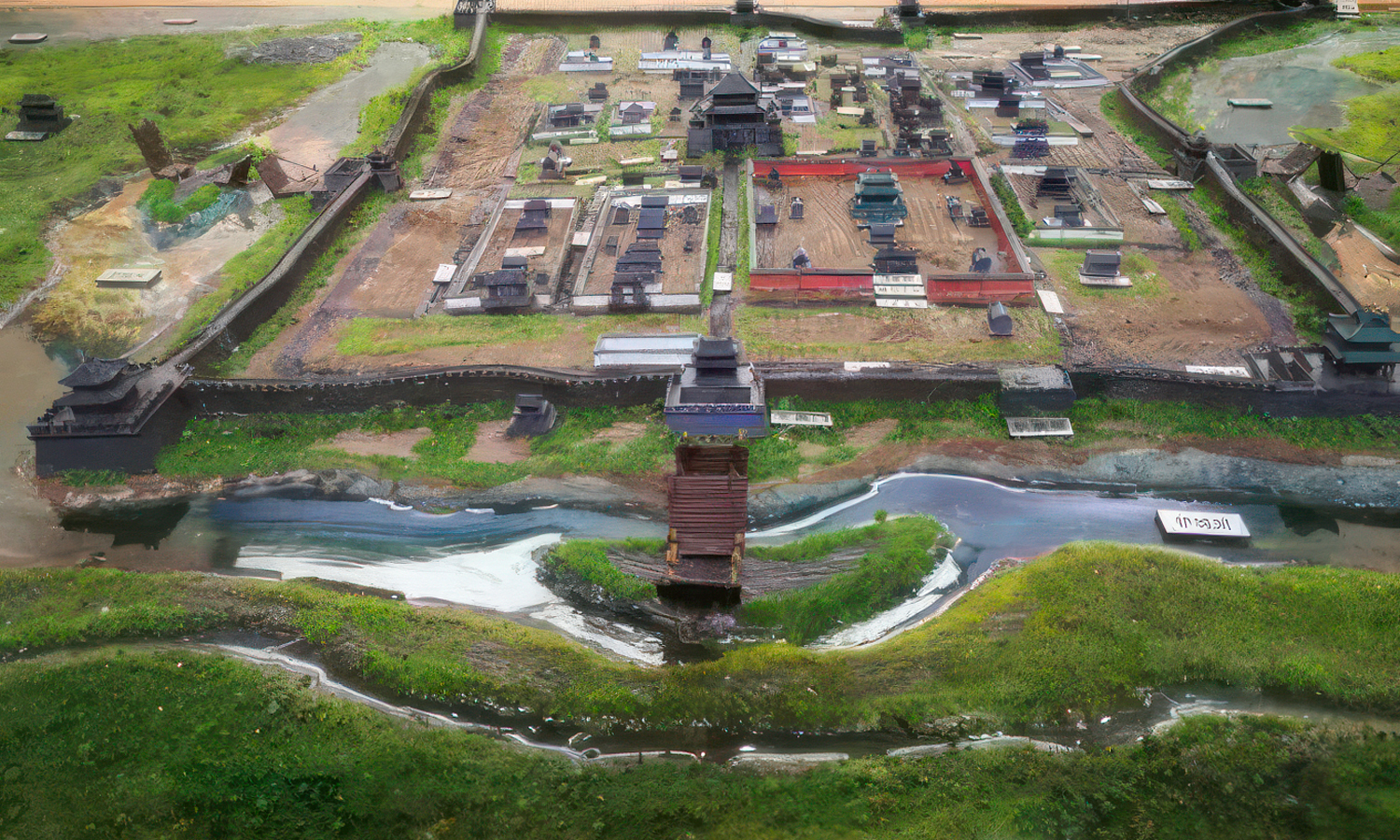
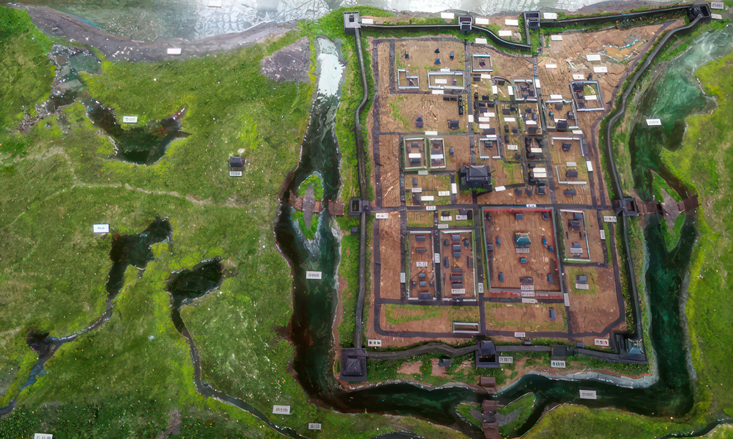
Why was Xiangyang so difficult to conquer? This 2.7 × 1.4 m museum model answers the question. Installed at the Xiangyang City Wall Cultural Exhibition Hall inside Linhan Gate Tower, it reconstructs the city’s Ming- and Qing-era layout and defensive landscape.
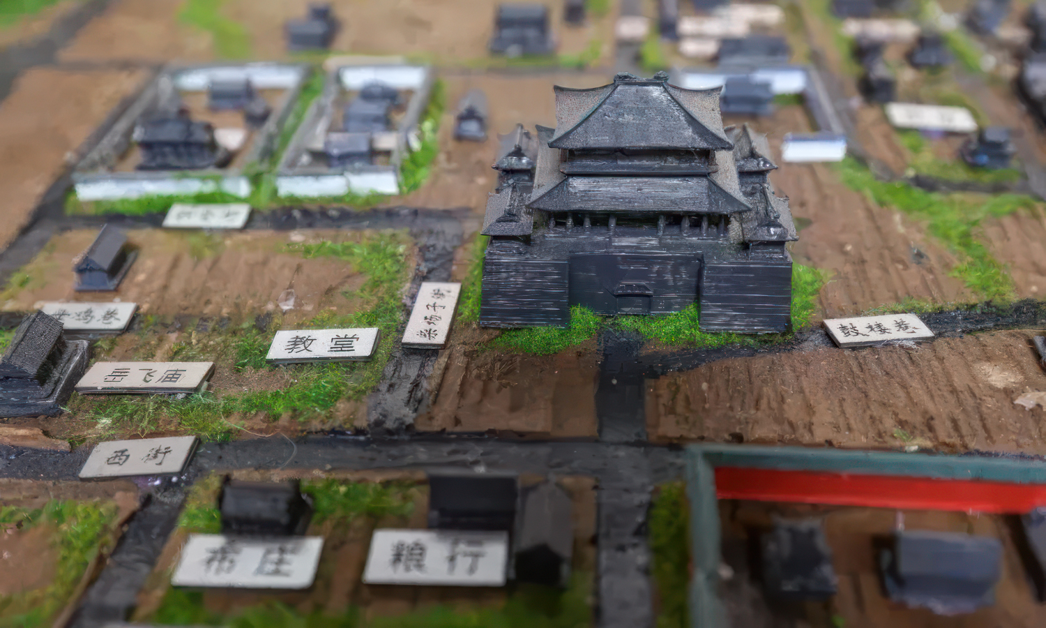
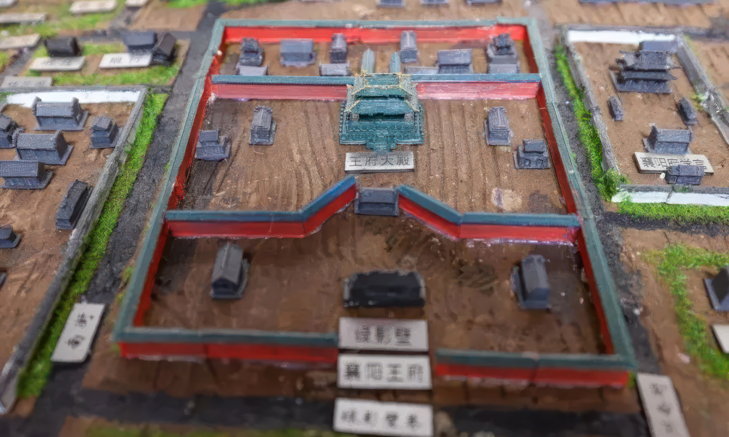
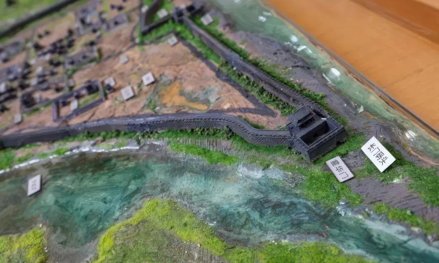
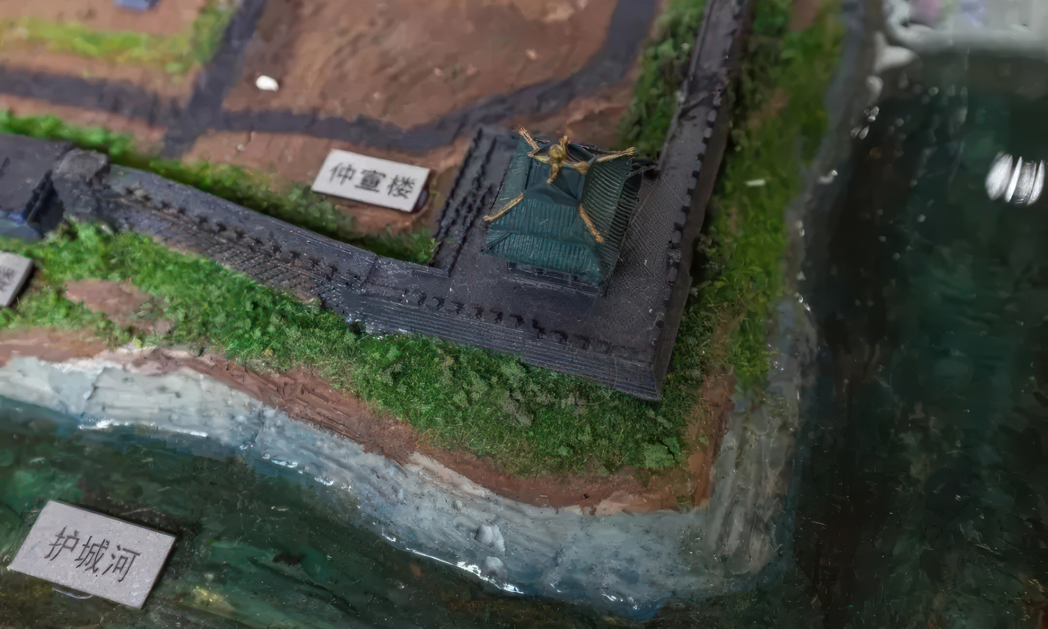
The model includes the Han River, Xiang River, Tanxi Lake, the surrounding Xianshan mountain ranges, the fortified wall, and six city gates. Within the walls are more than one hundred representative structures, including government offices, princely compounds, academies, temples, examination halls, bridges, workshops, shops, and homes. Seen from above, these elements reveal both the city’s civic organization and the natural barriers protecting it.
The rigid city elements were produced in a sand-based composite using Binder Jetting 3D printing. The process was well suited to the project because some miniature architectural features were only a few millimeters high and would have been difficult to reproduce consistently by hand. It also required no dedicated mold or support structures. The printed walls, towers, compounds, and urban buildings were integrated into a scenic base with painted terrain, glossy water effects, vegetation, color accents, and location labels. Historical research, expert consultation, digital modeling, printing, and scenic assembly took the creators more than three months.
For international museums, visitor centers, heritage sites, and urban exhibitions, the value is larger than visual accuracy: the model turns military geography and historical planning into an experience visitors can understand in seconds. Contact FacFox to discuss a display model, or upload your 3D files for a quote.